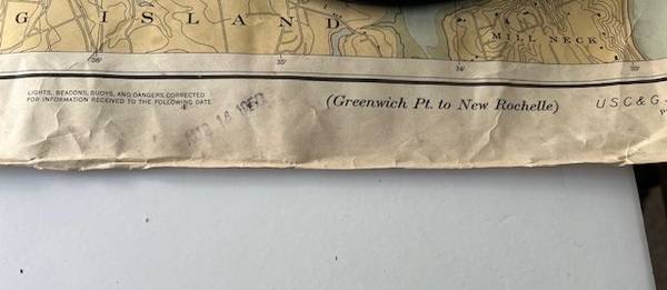
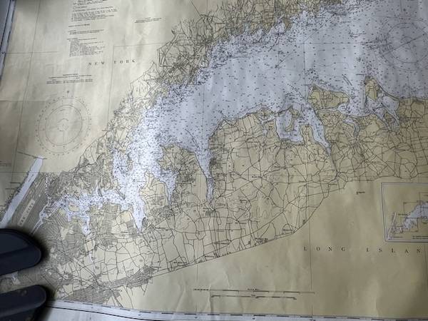
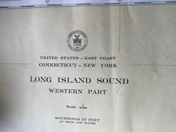
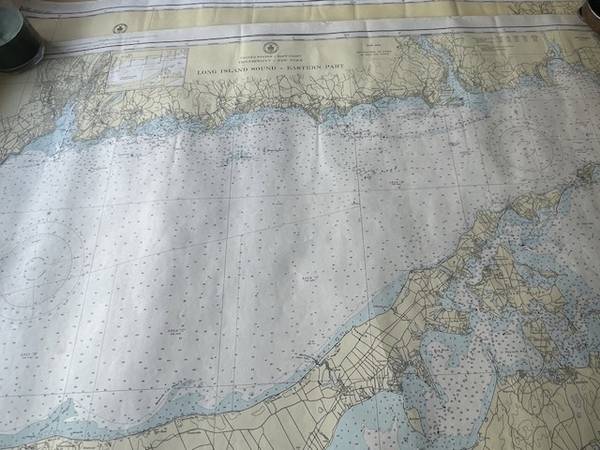
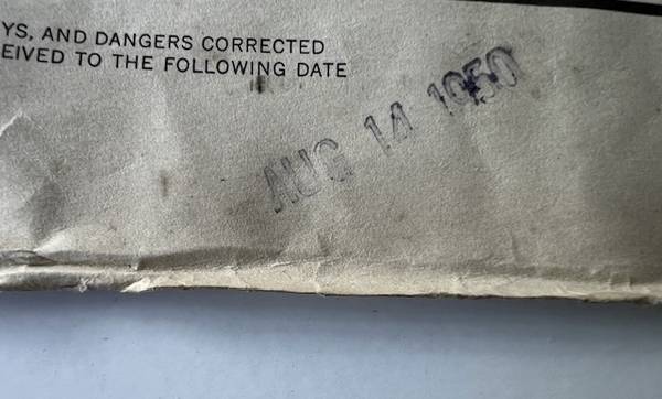
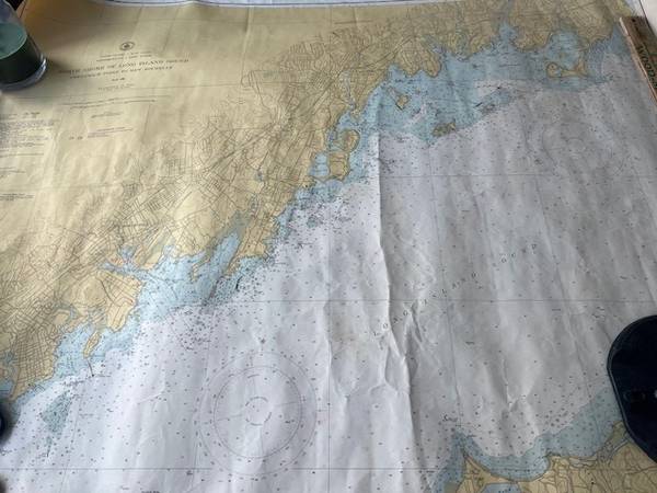
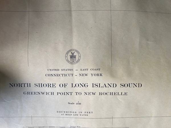
A little bit of an unusual item. This is an authentic nautical map case with original maps of New Jersey shorelines dating from the 1940’s and 1950’s. The map case is awesome. It is made of Zinc I believe with a brass lid. The case measures 37 inches tall. Rolled up inside the case are 4 maps. Circa 1950 #1222 Ling Island Sound Eastern Part, circa 1940 #1213, Long Island Sound western Part. There are two maps #1212, circa 1948/1949 Long Island Eastern Part. The maps are official United States Coast Guard Nautical Maps.
Long Island sound eastern / western part
Connecticut - New York
North shore - Greenwich point of Long Island sound
Greenwich point - New Rochelle